


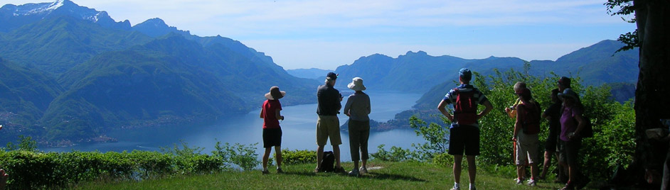

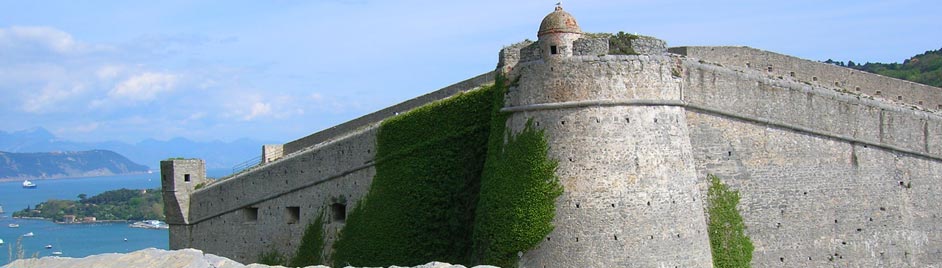
Genius Loci Travel is also a publisher of tourist guides and maps. These were created to attract tourists to beautiful, unknown areas in Southern Italy.
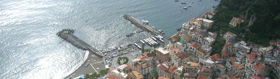
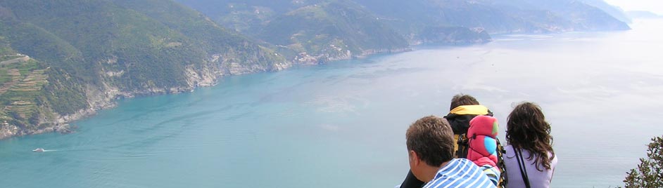
Some of these places, even though very close to known tourist areas, like the Amalfi Coast, were not yet ‘on the map’ when we started our company. One of our biggest success stories has been the enormous popularity that the ‘Sentiero degli Dei’ is now experiencing, becoming one of the world’s most famous walks. Other areas will follow soon !
La Genius Loci Travel realizza anche pubblicazioni turistiche, che hanno come scopo di far conoscere i luoghi poco frequentati (anche se a volte nei pressi di comprensori molto conosciuti come la Costiera Amalfitana!). Finora sono disponibili i titoli qui elencati, altri sono in preparazione.
Carta dei Sentieri della Penisola Sorrentina e Costiera Amalfitana
Carta dei sentieri di Positano
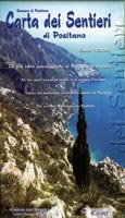 |
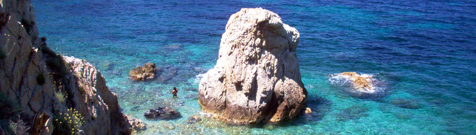
A detailed 1 : 5 000 ‘Guide map for Positano’, without doubt one of the most detailed on sale, is displayed – a priceless map if you’re interested in discovering the ancient pathways that criss-cross the glorious mountains behind Positano! On the back a 1 : 25 000 scale map of the Sorrento Peninsula and most of the Amalfi Coast. The paths marked on the map have each been checked individually and offer a useful guide for all hiking routes!
Carta escursionistica in scala 1: 25.000 della Penisola Sorrentina e gran parte della Costiera Amalfitana. I sentieri indicati sulla carta sono stati verificati uno a uno e rappresentano un valido supporto per tutte le escursioni! Sul retro è riportata la “Carta dei sentieri di Positano” in scala 1: 5.000, senza dubbio tra le più dettagliate in commercio, una carta preziosa per scoprire gli antichi sentieri che da Positano penetrano nelle bellissime montagne a ridosso della città. Euro 6,00 (Free with one of our ‘Amalfi Coast walking’ Tours) |
Guida dei sentieri della Penisola Sorrentina
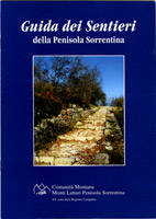 |
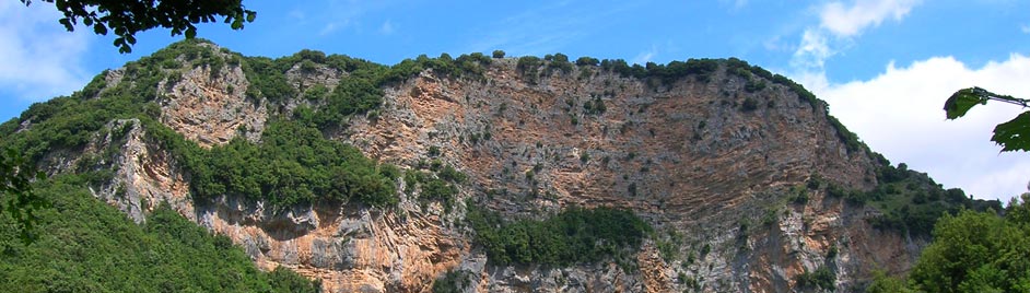
Small guide that summarises the immense heritage behind the ancient communication lines that stretch far and wide across the Sorrento Peninsula, from the mountains of Agerola and Gragnano, to the lemon groves of Sorrento, all the way down to the bays and cliffs of Punta Campanella. A treasure chest of immeasurable value that contains many surprises for the demanding hiker (only available in Italian).
Piccola guida che descrive in breve l’immenso patrimonio di storia racchiuso nelle antiche vie di comunicazione che attraversano in lungo e in largo la Penisola Sorrentina, dalle montagne di Agerola e Gragnano, ai limoneti di Sorrento fino alla baie e scogliere di Punta Campanella, un tesoro di inestimabile valore, che riserva molte sorprese anche all’escursionista più esigente. Not for sale / Non in vendita |
Guida dei sentieri del Monte Stella
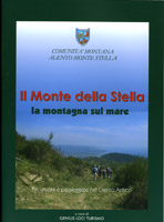 |
The territory of Monte Stella contains the ancient nucleus of what is now the Cilento National Park, a land between mountain and sea, with many ‘secret’ spots, unknown perhaps to repeat visitors and maybe even to the inhabitants themselves. This guide outlines 13 of the most beautiful routes in the area, most of which have been recently restored. Along with the guide you get a number of 1 : 25 000 scale hiking maps with detailed route descriptions.
Il territorio del Monte Stella rappresenta il nucleo antico dell’odierno Parco Nazionale del Cilento, una terra tra montagna e mare, con tanti angoli “segreti”, sconosciuti forse anche ai villeggianti di lunga data e perfino agli abitanti stessi. Questa guida descrive 13 itinerari tra i più belli della zona, in gran parte appena ripristinati dalla Comunità Montana D’Alento Monte Stella. Allegati alla guida ci sono delle cartine escursionistica in scala 1 : 25000 con una dettagliata descrizione dei percorsi. (Free with the Paestum & Cilento Coastal Walking Tour) |
The right tailor-made maps for every Tour! Mappe Personalizzate
 |
For all our tours, we create our own maps, based on the best available maps – and often using the official military IGM maps as a base, highlighting your route. We make personalised maps for every bespoke tour.
Ciò che caratterizza il nostro lavoro è, la cartografia e la conoscenza dei luoghi. Essendo quindi cartografi e conoscitori del territorio italiano, realizziamo mappe escursionistiche completamente personalizzate, per ogni nostro Tour, e per ogni singolo itinerario. |
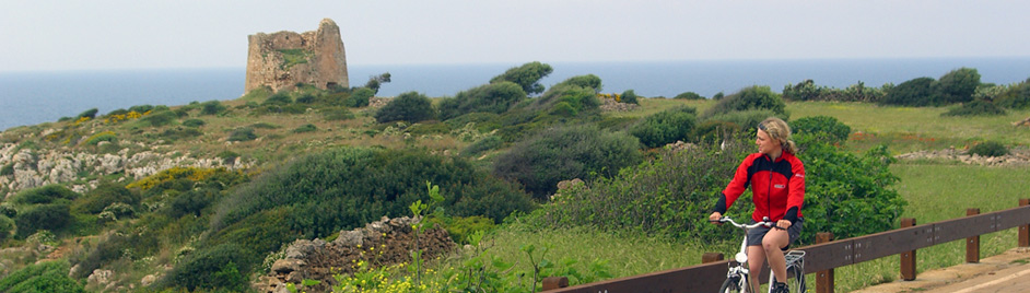
Southern Cilento National Park – Palinuro & Marina di Camerota
 |
The best available walking map of one of the best-known areas of the Cilento National Park. Known mostly for its spectacular coastline, but now also for its great hiking: onto the mythical headland of Palinuro, along the stunning coast of Marina di Camerota and Scario, and to the top of the amazing Mt. Bulgheria.Scale 1 : 25 000. Descriptions of the walks on the backside.
euro 9,00 (Free with these two tours: Cilento Coastal Walking Tour and Southern Cilento Coastal Explorer). |
Southern Cilento National Park – San Giovanni a Piro
 |
A unique walking guide + walking map of one the most varied & diverse territories of the Cilento National Park, the commune of San Giovanni a Piro. A number of charming villages, se in a spectacular landscape, suspended between the towering Mt. Bulgheria and the stunning coastline, among the most pristine of the whole of Italy.Scale 1 : 10 000. Extensive descriptions of the area & walks.
euro 15,00 (Free with the Southern Cilento Coastal Explorer Tour). |


